78. GIS Based Accessibility Assessment within Yeouido Area / 구동균, Madi…
구두 Session 4, 스마트모빌리티, 30(금) 16:30-18:00, 볼룸3, pp.323-324
GIS Based Accessibility Assessment within Yeouido Area / 구동균(서울시립대학교), Madiha Bencekri(서울시립대학교), 이성희(한국교통대학교), 이승재(서울시립대학교), 김주영(한국교통대학교)
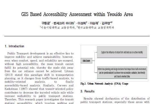
Public Transport development is an effective key to improve mobility and achieve sustainability, however, even when comfort, speed, and reliability are ensured, without high accessibility, the mass-transit cannot fulfill its potential role, thereby the mode shit away from the car reliance cannot be achieved. This research paper investigates the transit stations’ accessibility, which involves walking and cycling, within Yeouido area. The paper exploited the Geographic Information System (GIS) analysis, in addition to the Urban Network Analysis (UNA) tool developed by MIT. First, the study conducted deep data mining using mobile data, and other statistical data. Then, it identified the parameters considered in assessing the stations’ accessibility. The considered parameters are mobility, coverage, proximity, and the transportation network. Last, a GIS-based model was developed to identify the spots that need improvement, while considering the actual pedestrian volume, flow, and other socio-economic data. Results showed dysfunction of the distribution of public transport stations, especially those areas with potential transit demand, suffer from the absence of close and easy to access stations. Therefore, the paper clarifies the problematic zones, and proposes re-distribution/ re-location of stations, for better centrality, reach, proximity, and betweenness.
좌장 : 김태형, 송태진


